Field guide · Republic of South Africa

Nine provinces, three capitals, one very long road.

South Africa covers 1.22 million square kilometres and changes character every few hundred of them: cold Atlantic surf on one coast, subtropical bushveld on the other, and a high interior plateau in between that most itineraries cross without noticing.

This guide is written for people planning their own route. It describes what each region is like, when its weather is workable, how far apart places really are, and which practical details — driving side, plug type, park gate times — decide whether a plan survives contact with the map.

Provinces
9
Coastline
2,798 km
Official languages
11

Ask a planning question

Send a route question, a seasonal question, or a correction to something you have read here. We reply by email.

Enter your name — at least two characters.
Enter an email address in the format name@example.com.
Choose a topic so the question reaches the right desk.
Describe your question in at least 20 characters.
Please confirm you agree before sending.

Thank you, we will contact you.

01 · Regions

Three landscapes that shape most itineraries

Almost every route through South Africa is built from some combination of the south-western Cape, the north-eastern lowveld and the escarpment that separates the interior plateau from the coastal belt. They sit far apart, have opposite rainfall seasons, and reward completely different kinds of days.

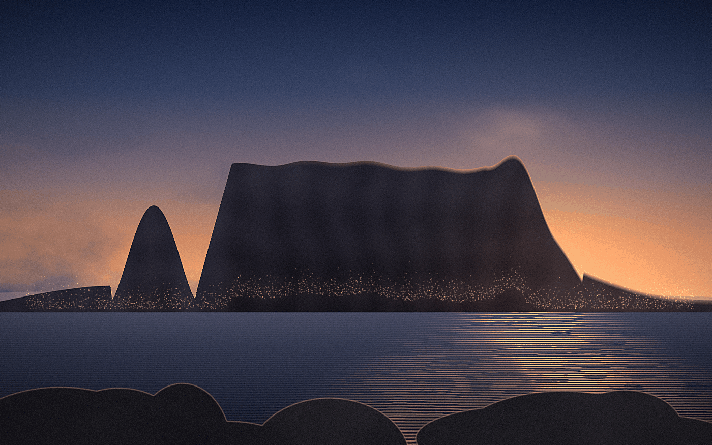
Flat-topped Table Mountain rising above Table Bay at dusk, with the lights of Cape Town along the shoreline
Table Bay at last light — 33.9249° S, 18.4241° E
Western Cape · winter rainfall

The Cape Peninsula and the south-west

  • Mountain city
  • Cold Atlantic
  • Fynbos
  • Wine valleys

Cape Town sits between a 1,086-metre sandstone massif and two very different seas: the Atlantic side rarely climbs above 15 °C, while False Bay on the other side of the peninsula runs several degrees warmer. The mountain is a national park that starts inside the suburbs, so a serious hike and a city afternoon can share the same day.

The surrounding region is the only part of the country with a Mediterranean climate — dry, bright summers from November to March and wet, windy winters from May to August. That inversion matters when you plan: the Cape is at its most reliable exactly when the game-viewing regions in the north-east are at their wettest.

Beyond the city, the Cape Winelands around Stellenbosch, Franschhoek and Paarl sit within an hour's drive, and the Cape Floral Region — one of the world's six floral kingdoms, and the smallest — covers the peninsula in fynbos that flowers through the cooler months.
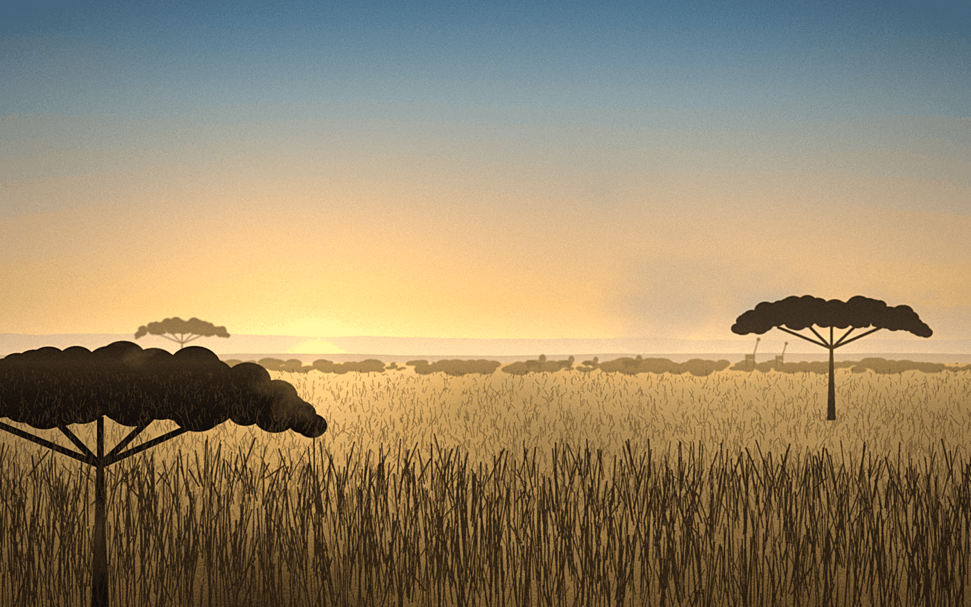
Golden-hour savanna with acacia trees, tall dry grass and distant elephants and giraffes near the horizon
Lowveld bushveld at sunrise — 24.0000° S, 31.5000° E
Mpumalanga & Limpopo · summer rainfall

The Lowveld and the Kruger corridor

  • Bushveld
  • Dry-season viewing
  • Self-drive parks
  • Malaria area

East of the escarpment the land drops to a hot, low-lying plain of acacia and mopane. Kruger National Park alone runs for roughly 350 kilometres north to south along the Mozambique border, with a public road network you can drive yourself between gate opening and gate closing times that shift with the season.

Viewing is easiest in the dry winter months from May to September: the grass is short, deciduous trees have dropped their leaves, and animals concentrate around permanent water. The summer months bring afternoon thunderstorms, dense green cover, migrant birds and newborn animals — better for photography of landscape and birdlife, harder for spotting large mammals.

The Lowveld is a low-risk malaria area with seasonal variation, so this is one of the few parts of the country where a prophylaxis conversation with a travel clinic belongs in the planning stage rather than the packing stage.

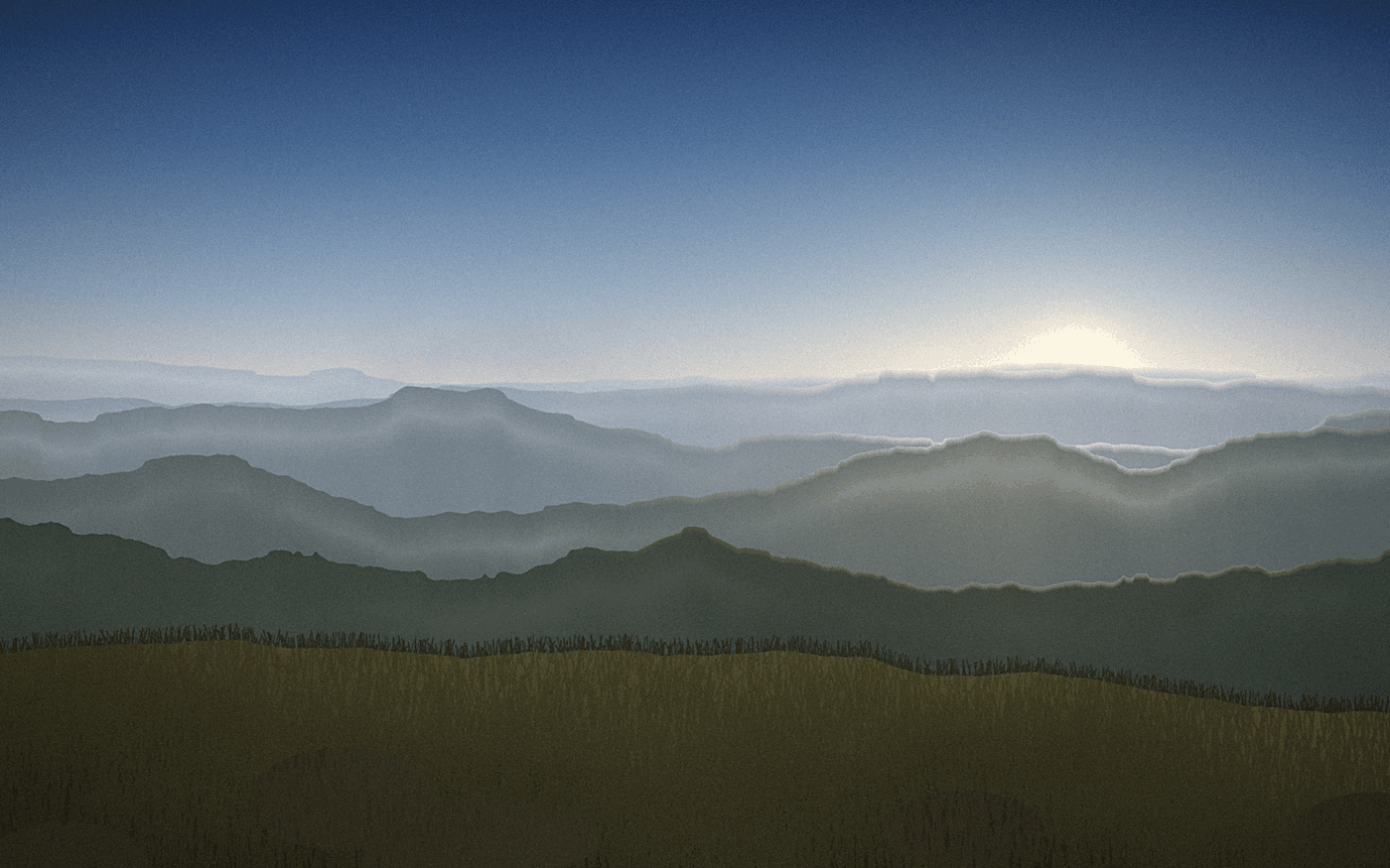
Layered mountain ridges of the Drakensberg escarpment in morning mist above a grassy foreground slope
Escarpment ridges at sunrise — 29.4728° S, 29.2870° E
KwaZulu-Natal & Free State · high altitude

The Drakensberg escarpment

  • Basalt peaks
  • Hiking
  • Rock art
  • Snow in winter

The Great Escarpment is the wall where the interior plateau ends. Its highest section, the uKhahlamba-Drakensberg, rises above 3,400 metres and forms the border with Lesotho; the range is a UNESCO World Heritage Site listed for both its landscape and the thousands of San rock-art sites in its shelters.

Weather here is genuinely mountain weather. Summer afternoons build thunderstorms quickly, winter nights fall below freezing, and snow on the high peaks is normal between June and August. Most visitors work from valley-floor bases and walk up: day routes into the amphitheatres, multi-day traverses for people carrying permits and proper gear.

The escarpment also makes distances deceptive. Roads follow the contours rather than the map's straight lines, so a 200-kilometre transfer across the range can take four hours or more, particularly in the passes.

02 · Route finder

Three questions, one suggested region

Answer three questions about when you travel, how you want to spend the days, and how far you are willing to drive. The result points to the region that fits those constraints — it is a starting point for planning, not a booking.

Question 1 of 3

When are you likely to travel?

Choose one option to continue.

What should most days look like?

Choose one option to continue.

How much driving are you prepared to do?

Choose one option to continue.

Suggested region:

03 · Practical notes

What the map does not tell you

Seasons

Southern hemisphere timing

Summer runs from December to February and winter from June to August. Rainfall splits the country: the Western Cape is wet in winter, almost everywhere else is wet in summer. Two regions on the same itinerary can be in opposite seasons.

Distance

The interior is large

Cape Town to Johannesburg is roughly 1,400 km by road — about 14 hours of driving, or a two-hour flight. Long east–west transfers are usually flown; regional driving works best inside a single province.

Driving

Left-hand traffic

Traffic keeps left and most rental cars are manual unless you book otherwise. Toll roads are common on the N1, N3 and N4. Rural roads may carry livestock and unlit vehicles, so night driving is generally avoided.

Power

Plugs and load-shedding

Mains supply is 230 V at 50 Hz. The national plug is the three-pin Type M, though Type C and the newer Type N sockets appear in newer buildings. Scheduled supply interruptions still occur, so a power bank is standard kit.

Language

Eleven official languages

English is the common language of signage, business and tourism. isiZulu and isiXhosa have the most first-language speakers; Afrikaans is widespread in the Cape and the interior. A greeting in the local language is always well received.

Parks

Gate times govern the day

National park gates open around sunrise and close at sunset, with exact times published per month. Being inside a park after closing carries a penalty, so afternoon drives are planned backwards from the gate.

04 · Planning

Building a route that survives the map

The most common planning mistake is treating South Africa as one destination with one climate. It is closer to three or four destinations that happen to share a border, an electricity grid and a currency. A fortnight is comfortable for two regions with a domestic flight between them; a week is comfortable for one.

Domestic flights connect Cape Town, Johannesburg, Durban, Gqeberha and the Lowveld airports several times a day, and they are usually cheaper than the fuel, tolls and accommodation an equivalent drive would cost. The drive only wins when the road itself is the attraction — the Garden Route along the southern coast, or the Panorama Route along the escarpment.

Second, book the fixed points first. Park accommodation inside Kruger, huts in the Drakensberg and Cape Town beds over the December holidays are the constraints everything else has to fit around; they open roughly eleven months ahead and fill quickly for peak weeks.

Third, leave the last day of any region unscheduled. Weather closes mountain passes, coastal fog delays regional flights, and a good sighting can turn a two-hour drive into a five-hour one. An empty day absorbs all three without costing you anything you had planned.

How this guide is written